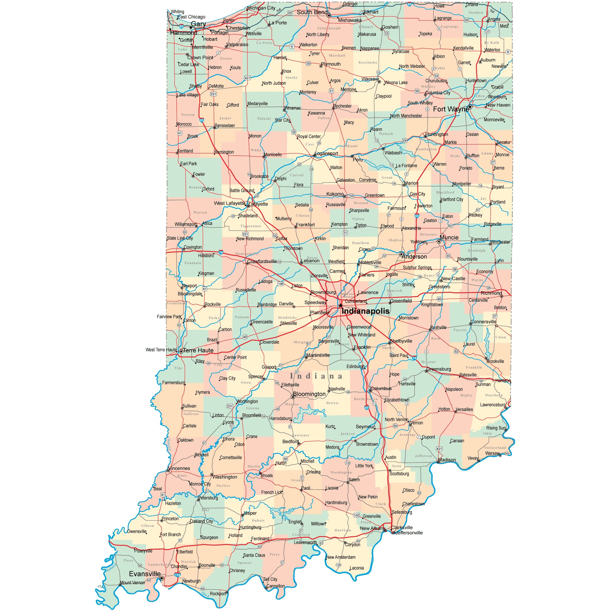
Indiana Road Map
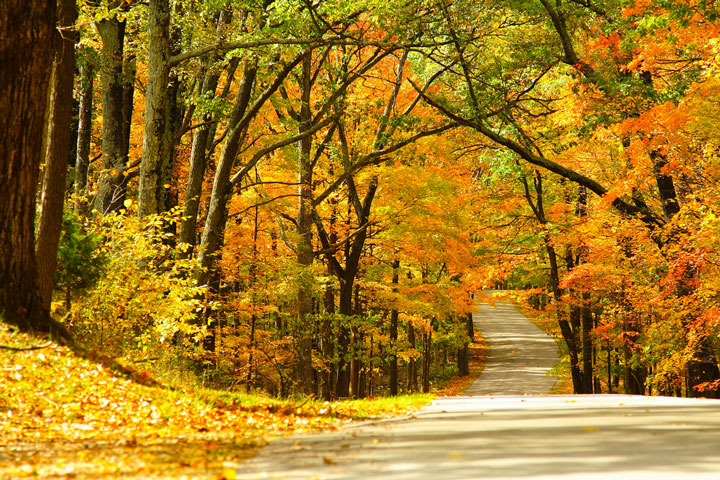
 Autumn Leaves near a Road in Brown County State Park, Indiana
Indiana Map Navigation
To display the map in full-screen mode, click or touch the full screen button. To zoom in on the Indiana state road map, click or touch the plus (+) button; to zoom out, click or touch the minus (-) button. To scroll or pan the zoomed-in map, either (1) use the scroll bars or (2) simply swipe or drag the map in any direction. (The scrolling or panning method you use will depend on your device and browser capabilities.) At any time, you can display the entire Indiana road map in a new window or print this page, including the visible portion of the map.

Indiana Map Legend

Indiana Map Scale Of Miles

Indiana Interstate Highways
Indiana's Interstate Highways connect its major cities and facilitate travel between Indiana and its neighboring states. I-64 passes through southern Indiana, between New Albany and the Illinois border. I-65 traverses the state from Gary to the southeast near Louisville, Kentucky. I-69 links Indianapolis with Fort Wayne and central Michigan. Both I-70 and I-74 traverse central Indiana, passing through Indianapolis. I-80 crosses northern Indiana from east to west. I-164 connects Evansville with I-64. I-265 runs through Clarksville near Louisville, Kentucky, connecting I-64 with I-65. I-465 encircles the city of Indianapolis. I-469 loops around the south and east of Fort Wayne.
Indiana Scenic Routes
Traveling east on Route 46 and then south on Route 135, the 120-mile trip from Bloomington to Mauckport offers plenty of rolling hills and passes through the charming town of Nashville, as well as the Hoosier National Forest, Starve Hollow State Recreation Area, and Squire Boone Caverns. The caverns offer guided tours through underground limestone formations, as well as an above-ground, pioneer-themed amusement park and hay rides. More information about scenic roads in Indiana is available on this America's Byways: Indiana page.
Indiana Road Travel Resources
For more information about Indiana's roads and transportation infrastructure, visit the Indiana Department of Transportation website. For Indiana road traffic conditions, visit the Federal Highway Administration's Indiana Traffic Information page.
Indiana-Map.org is a State Maps reference source.